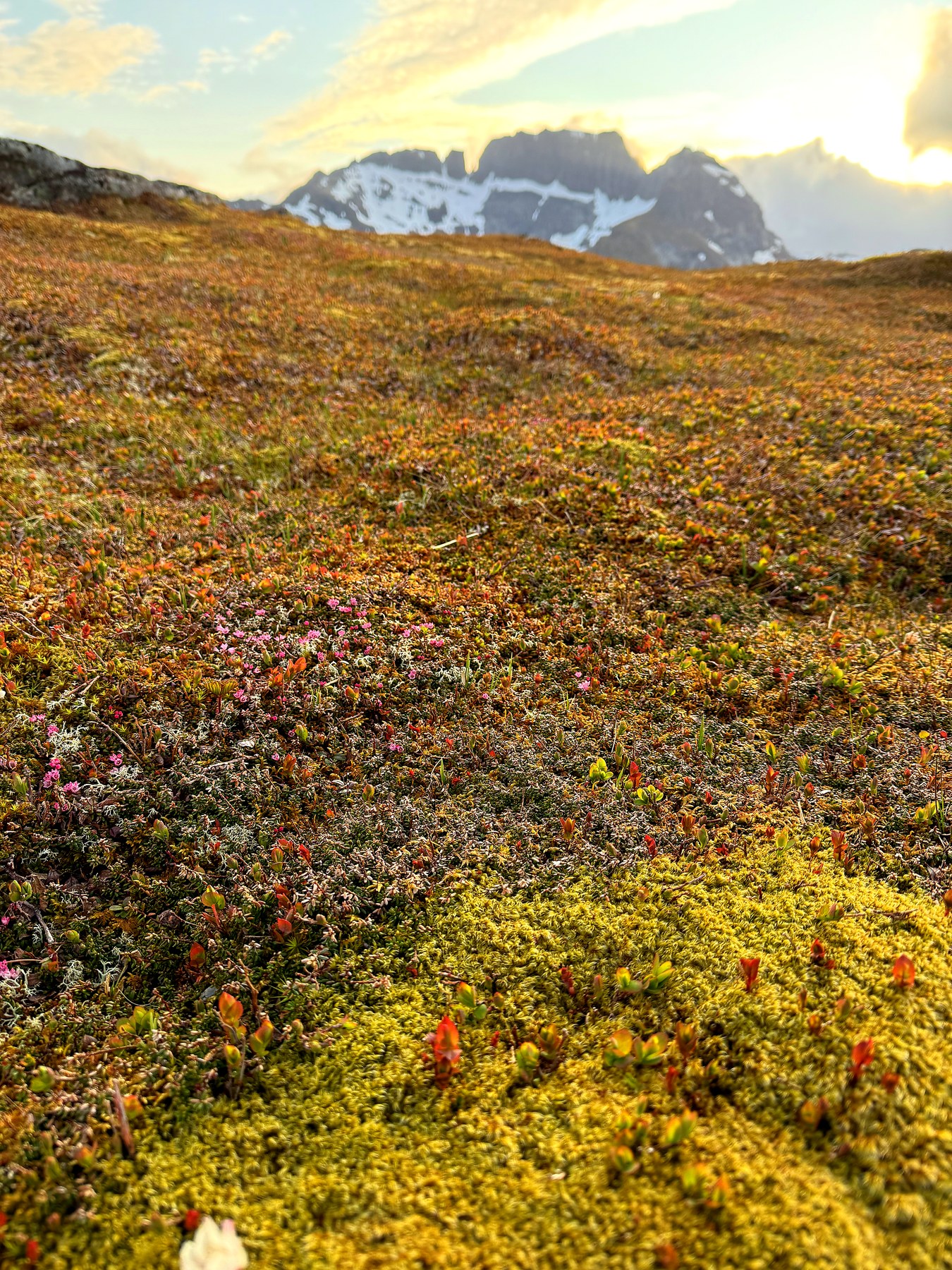
From the cabin to the ski trail
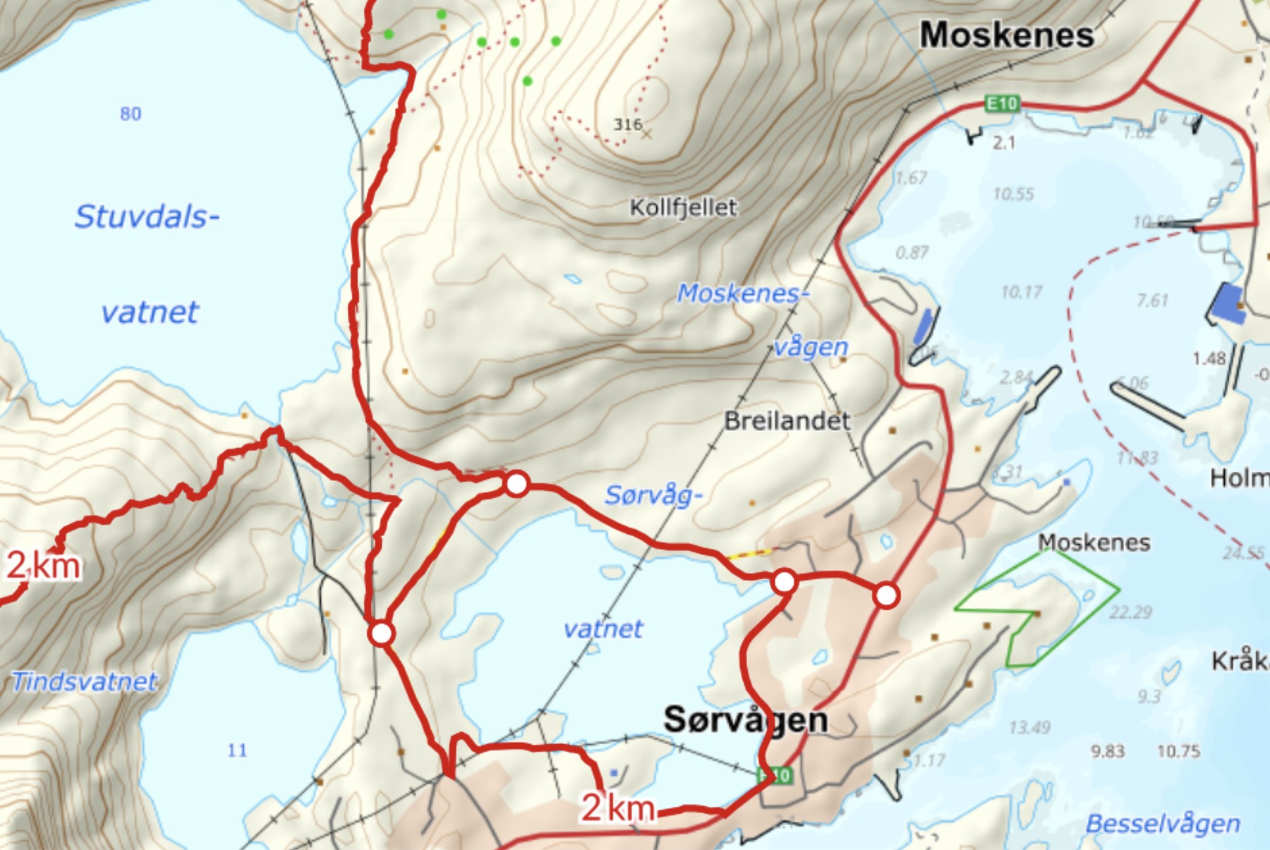
The hike starts right outside the door. We follow the paths through Sørvågen and on up to the lysløype (the local floodlit ski trail) — an easy, gentle warm-up before the real climbing begins.
Along Stuvdalsvatnet
From the ski trail we carry on along the main path with Stuvdalsvatnet lake on our left. The terrain here is criss-crossed with faint side paths that could easily lead you astray, but we stick to the clearest trail, close by the power lines. A couple of old boundary stones along the way are the only clue that others have walked this route long before us.
The climb begins
Just before a small red cabin comes into view, the path turns off and starts climbing south-west up the hillside. This is where it gets steeper, and the next 200 metres of ascent ask a bit more of your legs. None of it is exposed, but a few sections are noticeably steep, and chains have been fixed in place to help on the steepest bits.
Flat grass and a bird's-eye view
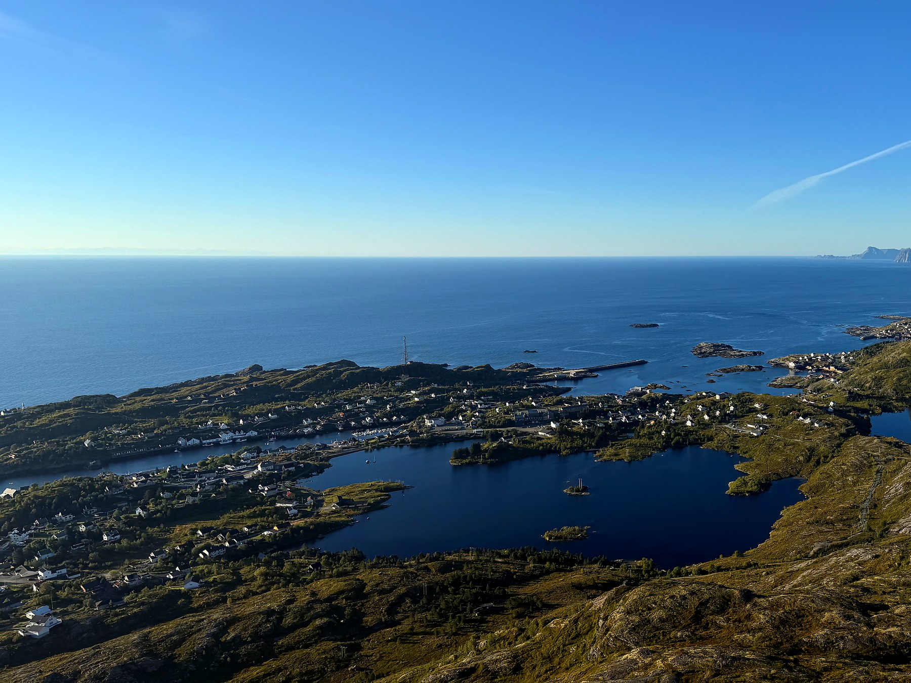
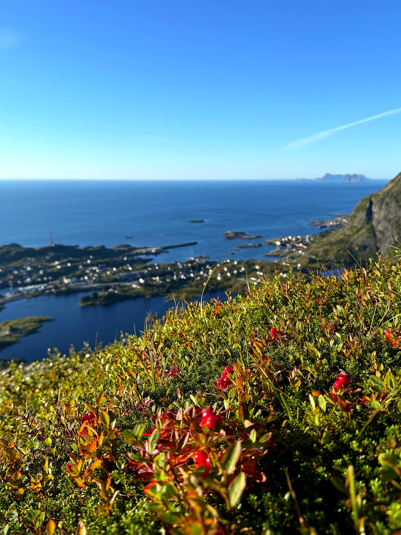
Once past the climb, the terrain flattens out quickly. Keep right, and you're soon standing on the summit itself — 316 metres above sea level. The top is flat and grassy, almost like a small meadow up there, and the perfect spot for a break and a snack. The view takes a moment to fully take in: Sørvågen spreads out directly below, with the sea and the other fishing villages along the coast stretching into the distance.
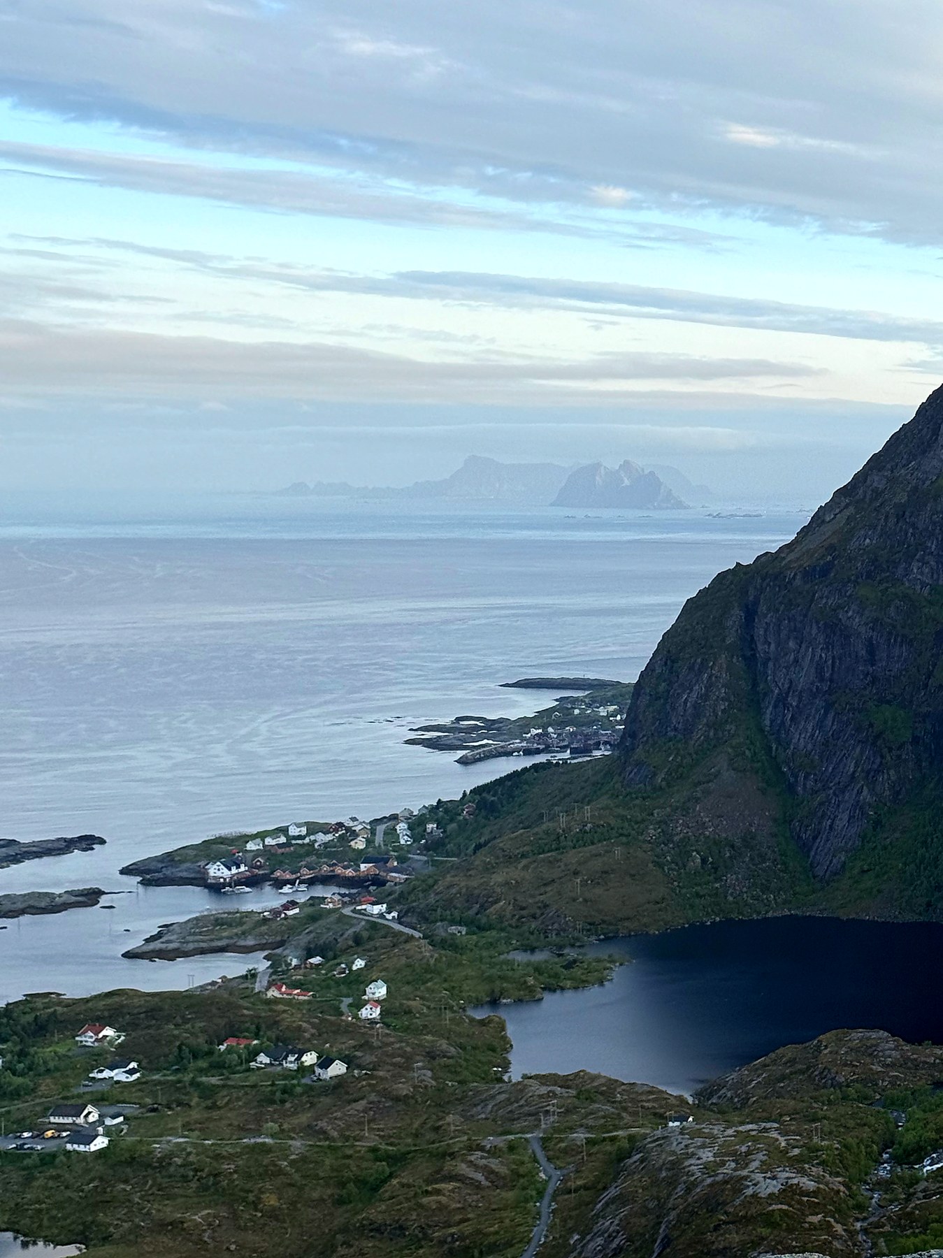
Worth the trip
Kollfjellet is a short hike — around 7 kilometres round trip and about ninety minutes in total — but few hikes nearby give you this much view for the effort. Easy to moderate, and well within reach for most people used to walking on varied terrain.